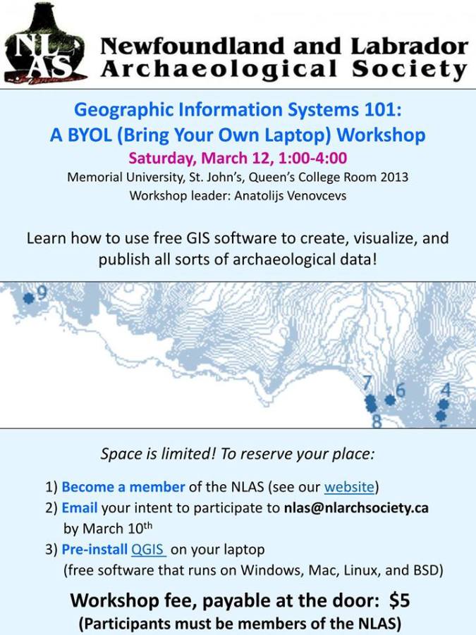
We are hosting a GIS workshop on Saturday, March 12. Learn how to use a free GIS program to overlay aerial photos or old maps, import GIS layers from the web or ArcGIS, or map out a survey.
We are hosting a GIS workshop on Saturday, March 12. Learn how to use a free GIS program to overlay aerial photos or old maps, import GIS layers from the web or ArcGIS, or map out a survey.
